Prior to the arrival of the Spanish in Alta California, the area that is now Downey was inhabited by the Tongva ethnic group, which came to be called the Gabrielino by the Spanish. The nearest Tongva settlements appear to have been just north and northeast of present-day Downey, although there is difficulty in locating them precisely. The villages of Naxaaw’nga and Sehat seem to have been situated near the present-day community of Los Nietos, or perhaps farther west on sites that were lost to floods of the San Gabriel River. Chokiishnga and Huutnga are other Tongva place names that may have referred to villages in the general area north of Downey between the San Gabriel River and Rio Hondo. In all four cases, it is difficult to relate the original location descriptions, based on ranchos and land grants, to more specific sites identifiable by today's landmarks.
Mission San Gabriel Arcángel was initially founded on September 8, 1771, near these concentrations of Tongva population, at a site in the Whittier Narrows on a bluff overlooking the Rio Hondo near the intersection of today's San Gabriel Blvd and Lincoln Avenue. After five years, flooding forced the relocation of the mission to its present site in San Gabriel.
In 1784, Governor Pedro Fages granted to former soldier Manuel Nieto (1734–1804) the largest of the land concessions made during the Spanish control of California. Its 300,000 acres stretched from the Santa Ana River on the east to the Old San Gabriel River (now the Rio Hondo and Los Angeles River) on the west, and from the mission highway (approximately Whittier Boulevard) on the north to the ocean on the south. Its acreage was slightly reduced later at the insistence of Mission San Gabriel on whose lands it infringed. The Spanish concessions, of which 25 were made in California, were unlike the later Mexican land grants in that title was not transferred, but were similar to grazing permits, with the title remaining with the Spanish crown.
The Rancho Los Nietos passed to Manuel Nieto's four children upon his death and remained intact until, in 1833, his heirs petitioned Mexican Governor José Figueroa to partition the property. The northwestern portion of the original rancho, comprising the Downey-Norwalk area, was granted as Rancho Santa Gertrudes to Josefa Cota, the widow of Manuel's son, Antonio Nieto. At approximately 21,000 acres, Santa Gertrudes was itself a sizable rancho and contained the old Nietos homestead, which was a center of social life east of the pueblo of Los Angeles. After the Mexican–American War concluded in 1848, many of the California ranchos were obtained by affluent Anglo-Americans who were immigrating west under the United States manifest destiny doctrine, and marrying into established California Spanish families. This migration was distinct from that prompted by the California Gold Rush farther north.
Dairy was a major industry in Downey. The Central Milk Agency marketed the milk for "seven hundred dairymen whose dairy herds range from thirty to two thousand head" with the value of the products marketed in excess of $1,000,000 per month.
Some of Downey's settlers came from Ireland. Downey was founded by and named for the former and youngest ever governor of California, John Gately Downey, who was born in Ireland. Although he was an Irish Democrat, he supported the Republican Lincoln in his efforts to keep the Union intact during the American Civil War. He pioneered the modern subdivision with land he acquired between the Rio Hondo and the San Gabriel River, in about 1865. Downey was convinced that oranges would flourish in Southern California, so he imported several varieties, and therefore set in motion what became one of the state's biggest cash crops. In conjunction with the construction of the Tehachapi Loop, the Southern Pacific Railroad arrived in 1873.
After World War II
Farmers in the area grew grain, corn, castor beans and fruit, and by 1935 Downey was characterized as an "orange-grove town". Downey was incorporated in 1956, and instituted a charter form of government in 1964. Suburban homes and factories replaced the farms after World War II.
Aerospace
Vultee Aircraft was Downey's largest employer during World War II, producing 15% of all of America's military aircraft by 1941. The company was a pioneer in the use of women in manufacturing positions, and was the first aircraft company to build airplanes on a powered assembly line. Vultee became a part of North American Aviation, (later North American Rockwell, then Rockwell International which was then bought by the Boeing company) whose facilities were the birthplace of the systems for the Apollo Space Program as well as the Space Shuttle. For over 70 years, Downey's Rockwell NASA plant produced and tested many of the 20th century's greatest aviation, missile, and space endeavors. By the early 1970s, the facilities encompassed some 1,700,000 square feet of enclosed area over more than 200 acres. But, by the post-Cold War 1990s, Downey was brutally hit by cutbacks in the defense budget. Rockwell International, who once had over 30,000 employees, had less than 5,000 in 1992. The seventy-year history of airplane and space vehicle manufacturing in Downey came to an end when the Rockwell plant closed in 1999. The former North American Rockwell plant was demolished, and the site now features the Columbia Memorial Space Center, Downey Landing shopping center, a Kaiser Permanente hospital, a city recreation fields park, and the former movie studio site of Downey Studios.
Population – 111,772 (Census 2010)
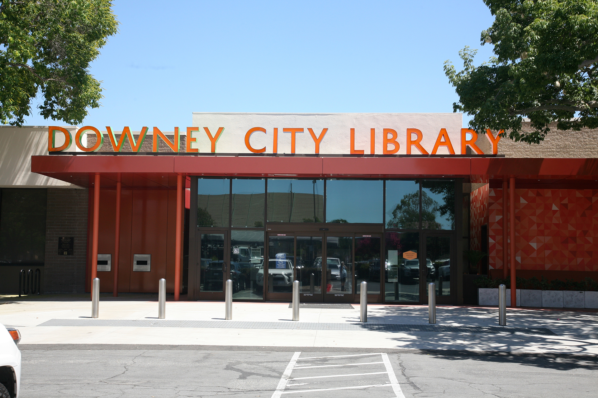
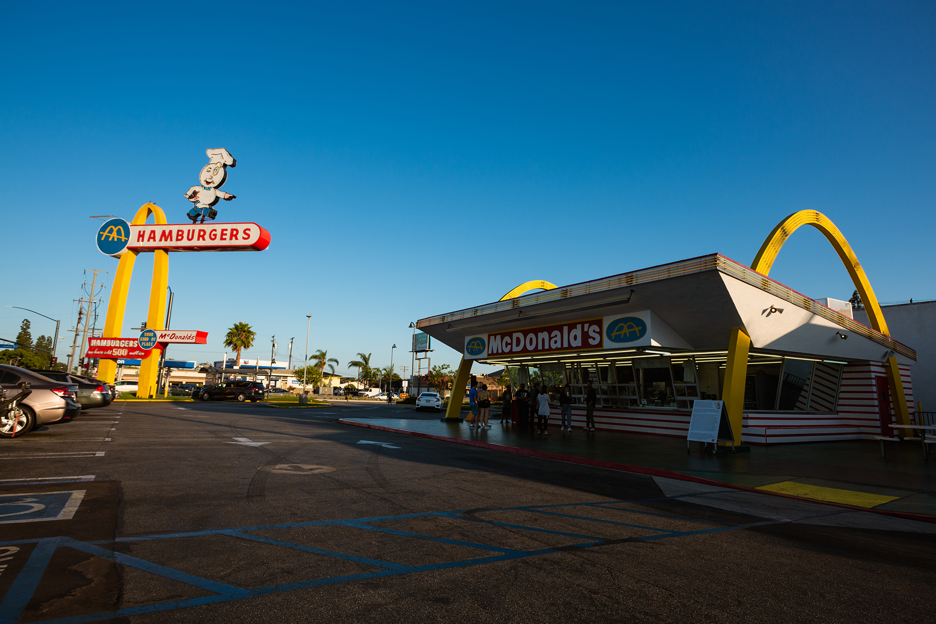
Landmarks – Lakewood Blvd. (Route 19) Long Beach to Pasadena. El Camino Real Trail, Downey Records, Recording Artists-The Blasters and the Dark Angles, Downey Los Amigo Rehab Center, Porto’s Bakery, Rio Hondo Golf Course, Los Amigos Golf Course, the Downey Theatre, and the home to the oldest and operational McDonalds.
Largest Employers – Kaiser Permanente, Stonewood Center, Downey Unified School District, Rancho Los Amigos, PIH Health Hospital, Coca Cola.