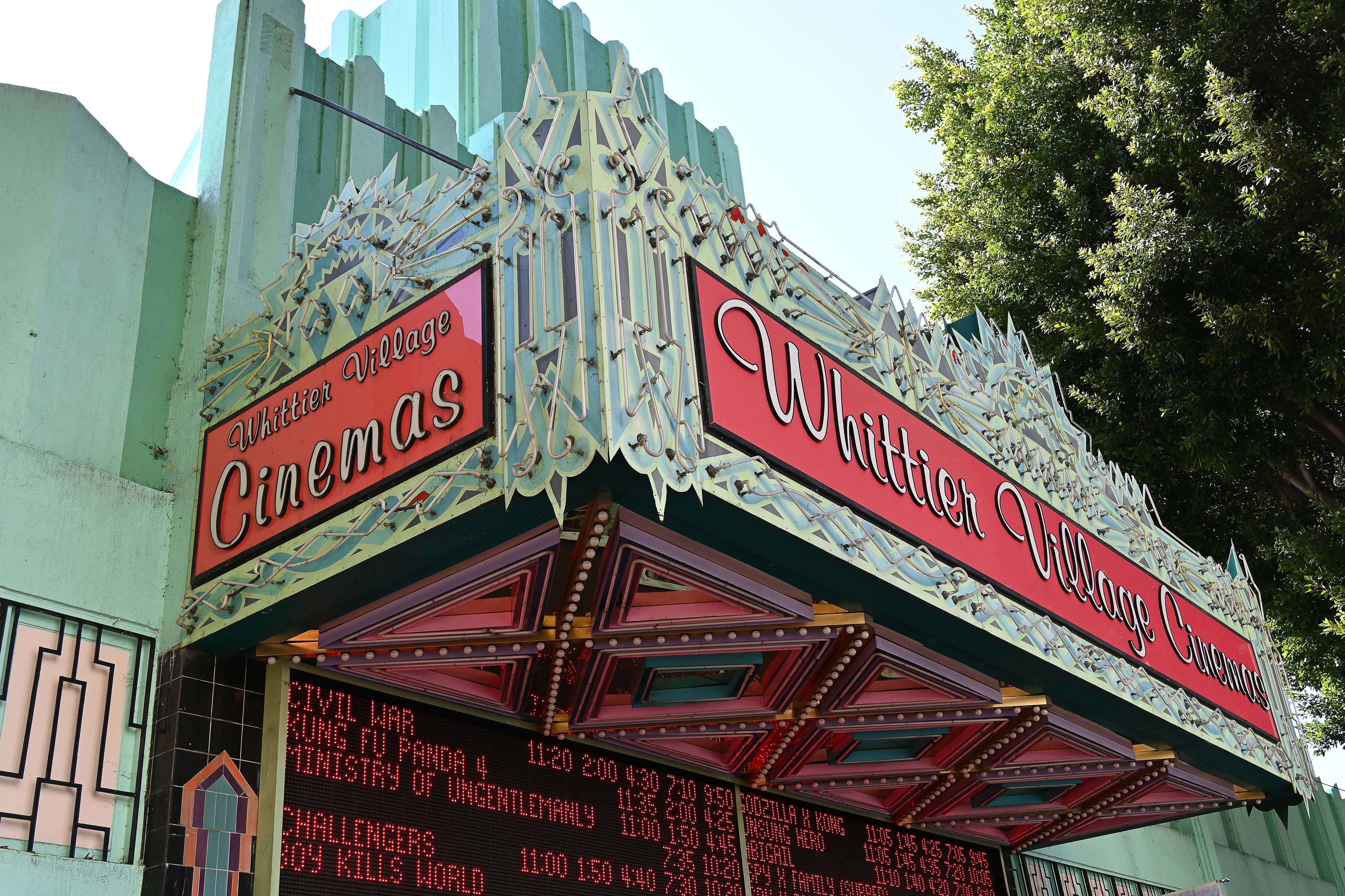
Whittier is located in Los Angeles County, about 12 miles southeast of the City of Los Angeles. A five Member City Council under the Council-Manager form of government directs the City. Whittier is a charter law city and was incorporated in 1898. The Charter form of City government was ratified in 1955. The City covers 14.8 square miles and has an estimated population of 87,369 as of January 1, 2018. Businesses and industries in the area include 436 professional services, 845 retail stores, 200 family-type restaurants, 37 manufacturing plants, 7 hotels and motels, two new automobile dealerships and more than 303 specialty shops and boutiques, predominantly located in Uptown Whittier, the Quad shopping mall, as well as the Whittwood Town Center.
In 1784 Manuel Nieto, a retired captain who served in the Portola Expedition, was granted 300,000 plus acres of land by the King of Spain. The land grant, in what is now California, stretched from the hills north of Whittier to the sea, and from the Santa Ana River to the San Gabriel River. By 1822 Mexico had achieved political independence from Spain, recalled the Spanish-appointed Governor from Alta California and appointed its own. In 1834 Mexico began to "secularize" the missions and issued land grants to individual rancheros. Juan Crispin Perez received a grant for Rancho Paso de Bartolo in 1835 for land that had initially belonged to the San Gabriel Mission. Perez eventually sold five parcels of the Paso de Bartolo land to Pio de Jesus Pico (1801-1894), a ranchero who had already served as Governor once (1832-33) and was to become last Mexico-appointed Governor of California (1845-46). Pico built his home east of the San Gabriel River and South of Whittier Boulevard (El Camino Real), now the Pio Pico State Historic Park. The Park underwent extensive renovations and re-opened in September 2003.
Modern Whittier roots can be traced to 160 acres of public land acquired in 1868 by Jacob Gerkens, a German immigrant who paid $234 to the U.S. government for the land under the auspices of the Homestead Act. Mr. Gerkens built a small cabin on the property which stands today as the Jonathan Bailey House. The land changed hands several times before 1,259 acres were acquired in 1887 by a group of Quakers interested in founding a new community in California. The group acquired the land as the Pickering Land and Water Development Company. Many "Friends" on the East Coast bought lots from the Company sight unseen, but all "fair-minded people" were invited to settle here. Farmers in the area planted barley, beans, cabbage, corn, oats, peanuts, tomatoes and citrus. The town was named after fellow Quaker John Greenleaf Whittier, a famous poet, writer and newspaper editor. John Greenleaf Whittier never had the opportunity to visit the town that bears his name but he did write and dedicate a poem in honor of the new City.
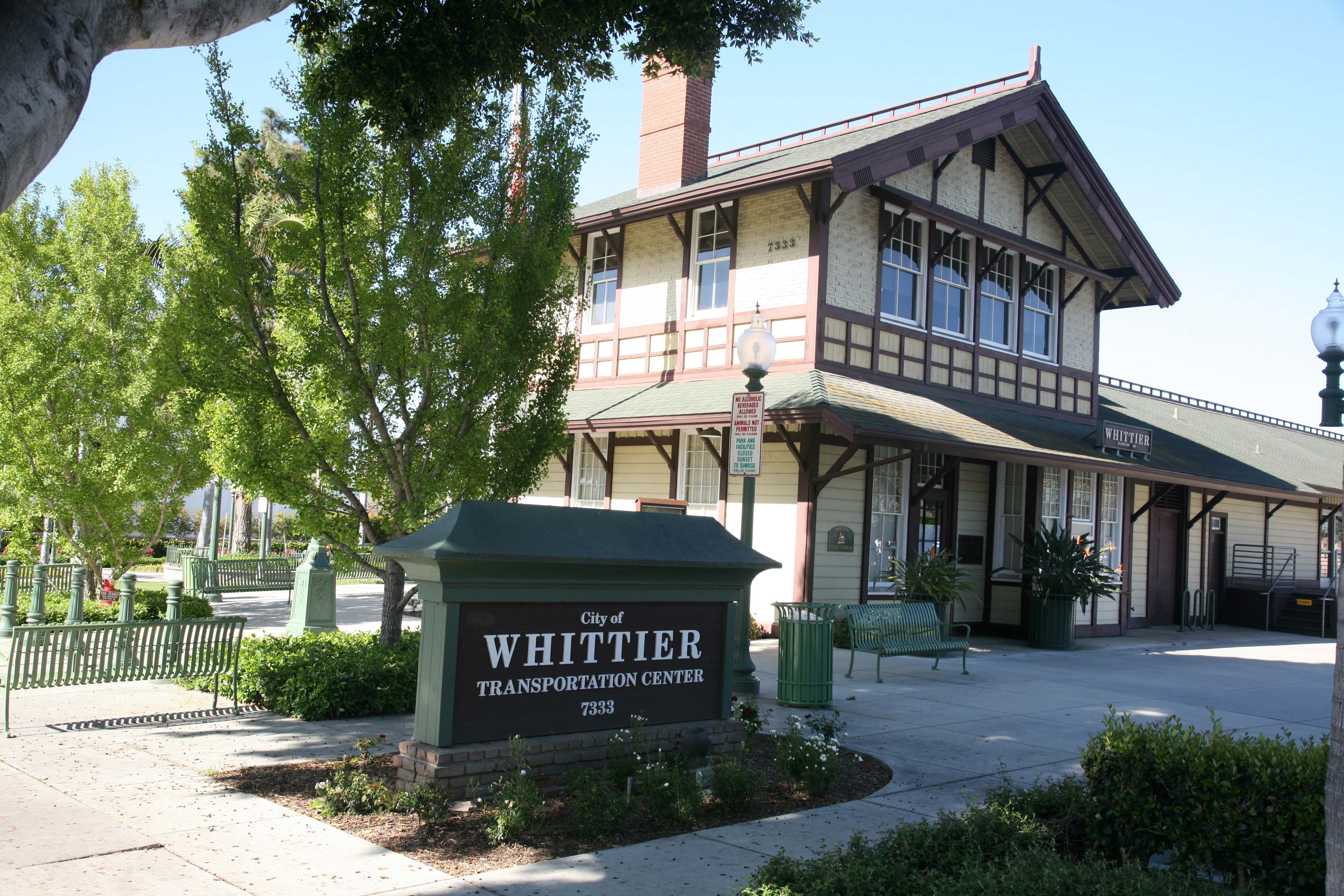
Southern Pacific Railroad built the first railroad spur to Whittier in 1887. The railroad spur helped promote the boom of the 1880's; lots were sold and resold and the community flourished. Whittier's first commercial enterprise, a cannery, was followed by a lumber mill then a grist mill. By the 1890s the citrus industry was taking over and by 1901 the Whittier Citrus Association was formed and "Quaker Brand" citrus was known around the world. By 1906, 650 carloads of oranges and 250 carloads of lemons were shipped annually by rail. Harriet Russell Strong began growing walnuts in the area in 1887 and others soon followed, eventually Whittier was known as the largest walnut growing area in the United States. In 1904 the Pacific Electric opened the trolley line known as "Big Red Cars" from Los Angeles to Whittier. In the first two decades over a million passengers a year rode to and from Los Angeles on the Whittier line.
In 1884 an old shack (10'x12') was converted into a schoolhouse, near what is now Painter Avenue, with Miss Georgia Freeman as the school teacher. This first school in Whittier was only used for two years until the Evergreen School was constructed. The Evergreen School was also quickly outgrown and construction began on the Bailey School in 1889. The Jonathan Bailey School was the primary school for much of Whittier until it was eventually demolished. The schoolhouse bell from the original Bailey School can be seen at City Hall.
In 1887 the Pickering Land and Water Company set aside a 20-acre parcel of land for the development of a college, but a collapse in the land boom stalled construction. Progress on developing a college was sporadic, but on July 30, 1896 the Whittier Academy, operating since 1891, officially changed its name to Whittier College with 100 students enrolled. By 1906, Whittier College was an educational institution with laboratories, boarding halls, a large gymnasium and athletic fields. Due to an economic depression in the 1890s, the first bachelor’s degrees were not awarded at the college for 17 years.
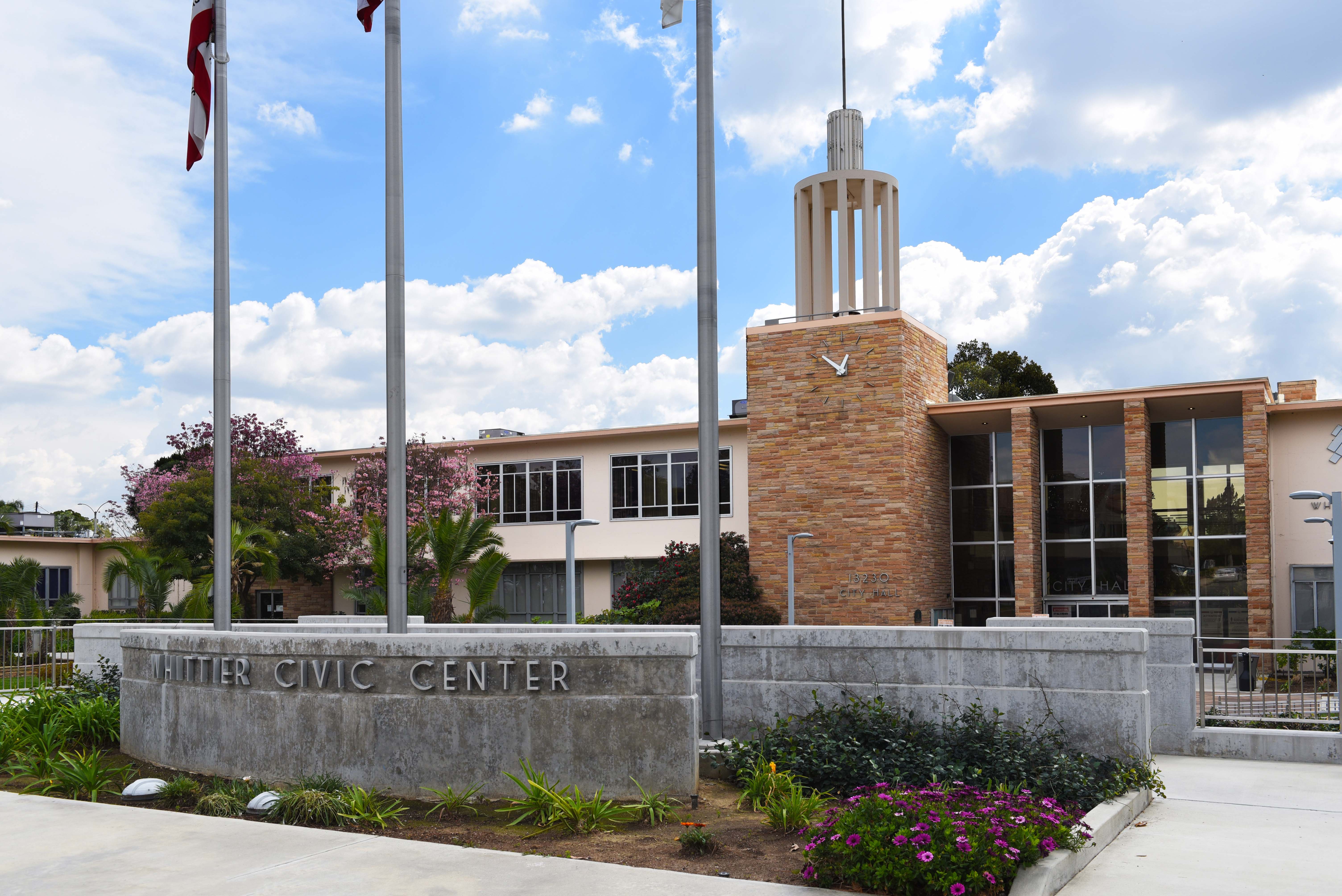
After World War II Whittier grew rapidly and the sub-dividing of orange groves began, driven by housing shortages in southern California. In 1955 the new Civic Center complex was completed and the City Council met in new chambers for the first time on March 8, 1955. The City continued to grow as the City annexed portions of Whittier Boulevard and East Whittier. The 1961 annexation added over 28,000 people to the population, bringing the total to about 67,000.
Population – 87,369
Landmarks – Whittier College, Whittier Regional Symphony, Rio Hondo College, Candlewood Country Club.
Largest Employers – PIH Health Hospitals, Inter Health Corporation, Community College Rio Hondo, Los Angeles County Sanitation, Whittier Hospital Medical Center